Reading the entire article takes about 8 minutes.
Alternatively, you can continue directly to the conclusions by clicking here.
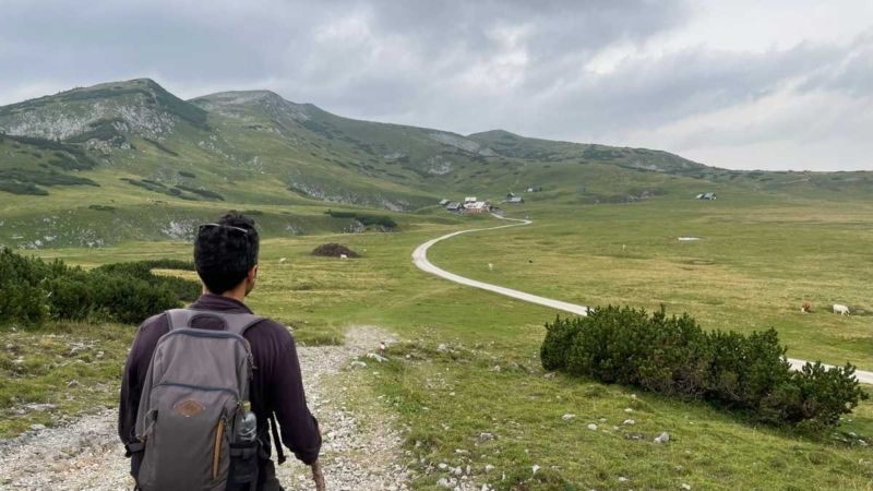
“They know better abroad!”
“I’ve walked the Alps and I know!”
“What are the European standards?”
“Let’s get the Austrians to show us how it’s done!”
These and many other expressions reach our ears at times. So we decided to go and see for ourselves what these foreigners are up to!
On the occasion of the organization of a related educational trip by the World Trails Network and the “Sustainability Task Team”, led by our friend András Joszef Molnar from Hungary, we found ourselves discovering something new every day about trails and waymarking in central Europe. And we were left speechless!
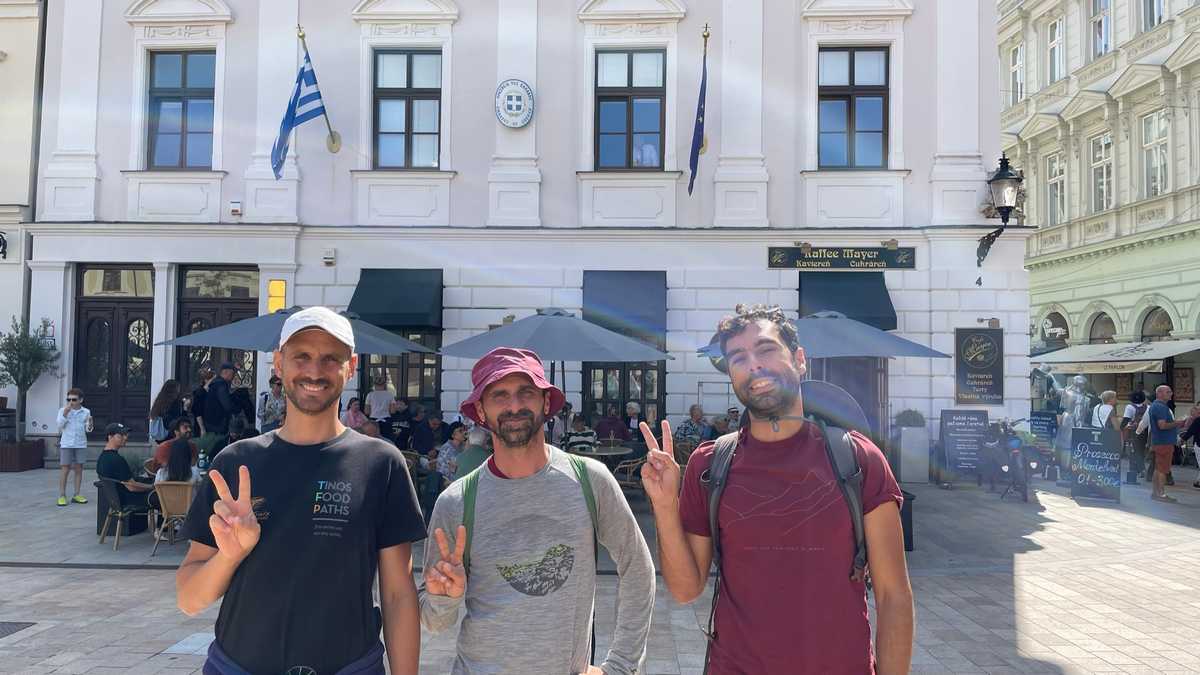
Our journey started in Slovenia, continued to Italy, then Austria and Hungary and ended in Slovakia. Its total duration was 6 days. From Paths of Greece we were Antonis (Signage Expert), Konstantinos (Trail Planner) and Fivos (Manager). Accompanying us were the TMI Trail team from Taiwan, who have done perhaps the best job in the world of documenting and analyzing trail and hiking related topics. And of course, the whole journey was designed and edited by András Joszef Molnár who has worked on the design of Hungary’s national signage system.
Day 1 – Slovenia
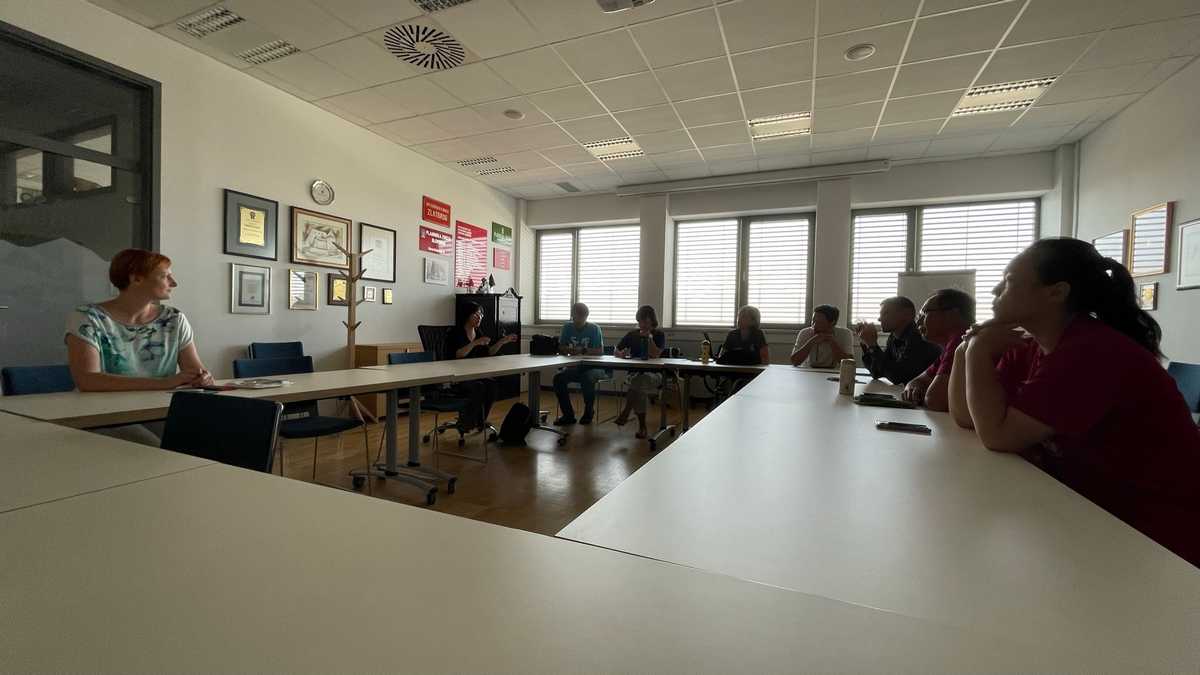
We arrived by plane in Vienna and by van to the capital of Slovenia, Ljubljana. There, we met up with the rest of the team (Taiwan and András) and met the Slovenian national mountaineering federation, where they explained the country’s trail marking, organization and management system in detail.
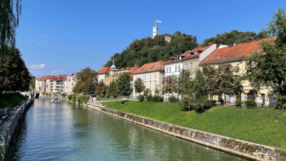
Afterwards, we were guided around the city and its castle, where we also had the opportunity to see trail waymarking within the city.
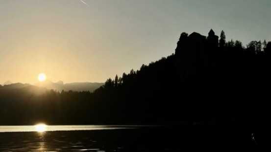
In the afternoon we saw a wonderful sunset on Lake Bled and several hours later we ended up exhausted at our hotel in Kranjska Gora.
Day 2 – Slovenia
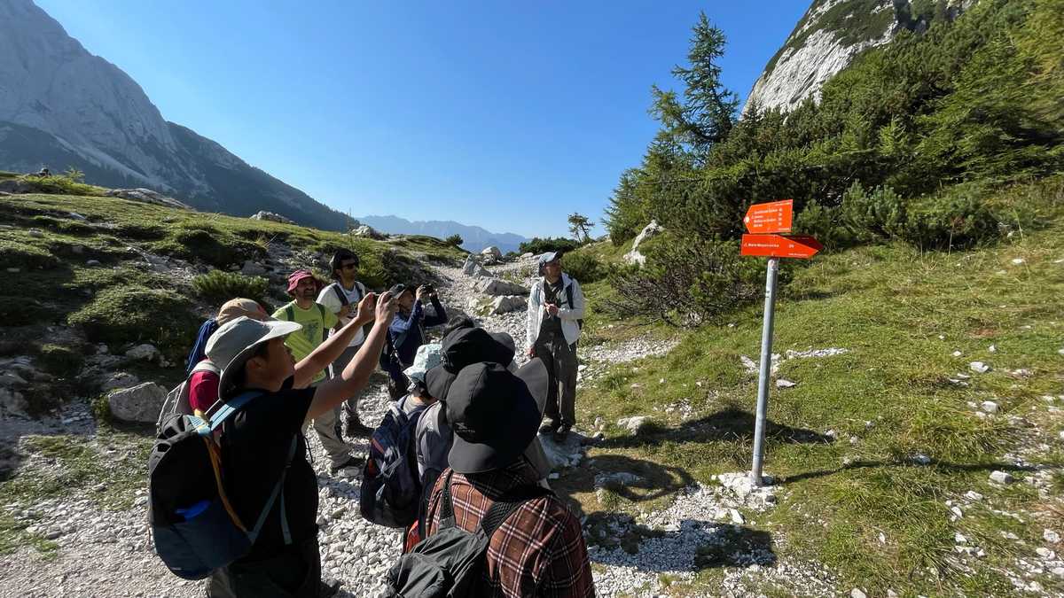
We woke up at dawn, before the first rays even lit up our hotel. Our departure with the vans was immediate after our breakfast. The goal was Slovenia’s only national park, the famous Triglav in the Julian Alps. There, we had the opportunity to reach the alpine zone and see up close the waymarking of the national network of trails managed by the Federation and the local clubs.
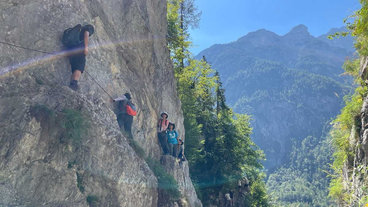
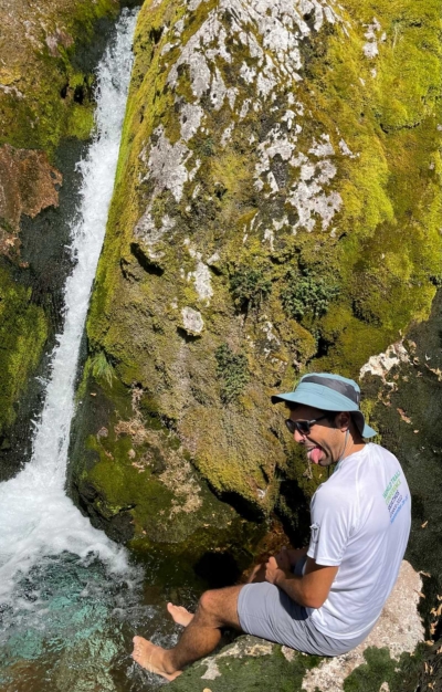
After a short hike, we continued with the vans to a lower elevation of the park, and walked a fairly exposed path that leads to a source of the Soca River.
There, Constantine dared to put his feet in the water!
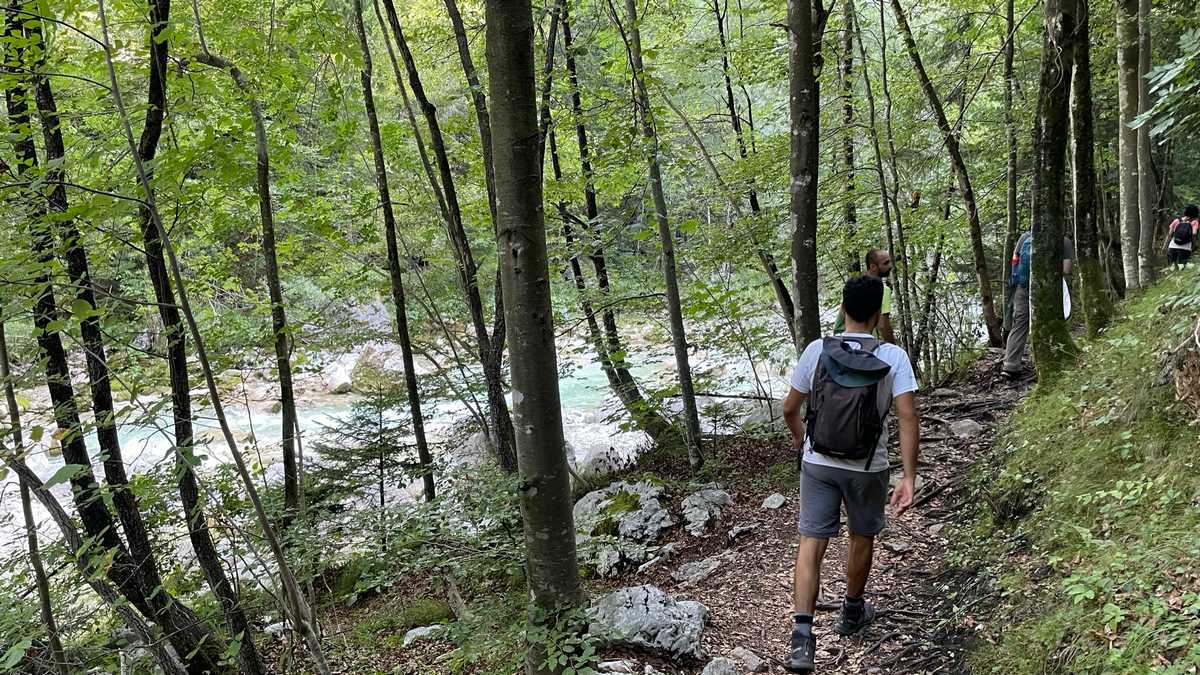
We were then guided by the park trail manager along the riverside route to the information center where we had the opportunity to enjoy a great video about the national park.
In the evening we returned to our hotel, where Morpheus came down from the Alps and met us as we entered the room.
Day 3 – Italy / Austria
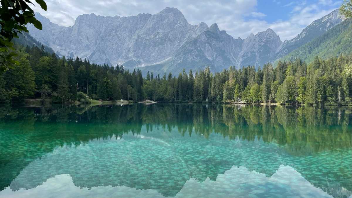
A very early morning wake up and a hurried breakfast on the schedule. And then, a short passage to Italy. It’s like we went for a coffee! We went to see the Laghi di Fusine lakes. Of course, we were left speechless by the beauty of the landscape. We walked the circular path around the lower of the two lakes, enjoying the incredible reflections of the Alps in the crystal clear waters. At this point, the Alpe – Adria Trail passes, one of the most famous long trails in the region, which connects the Alps with the sea. An Italian espresso and we left for Austria.
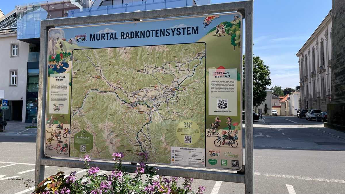
The trip to Austria took a while. Our first stop was the small town of Judenburg, where we were able to see waymarking systems for cycling routes within settlements.
Afterwards, we made a fairly long stop for food to recover. A short way and an uphill but beautiful drive up the Schneealpe mountain awaited us where we ended up at the relatively luxurious Michlbauerhütte. A cold shower was a must after the hike! Followed by the best meal of our trip!
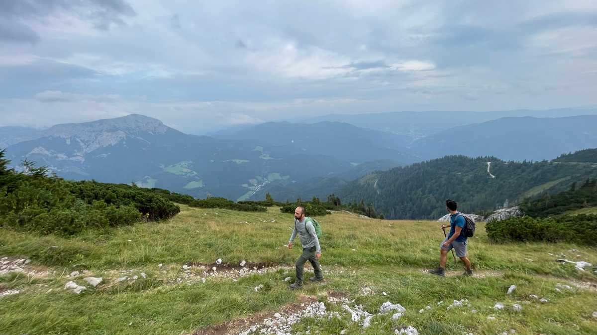
Day 4 – Austria
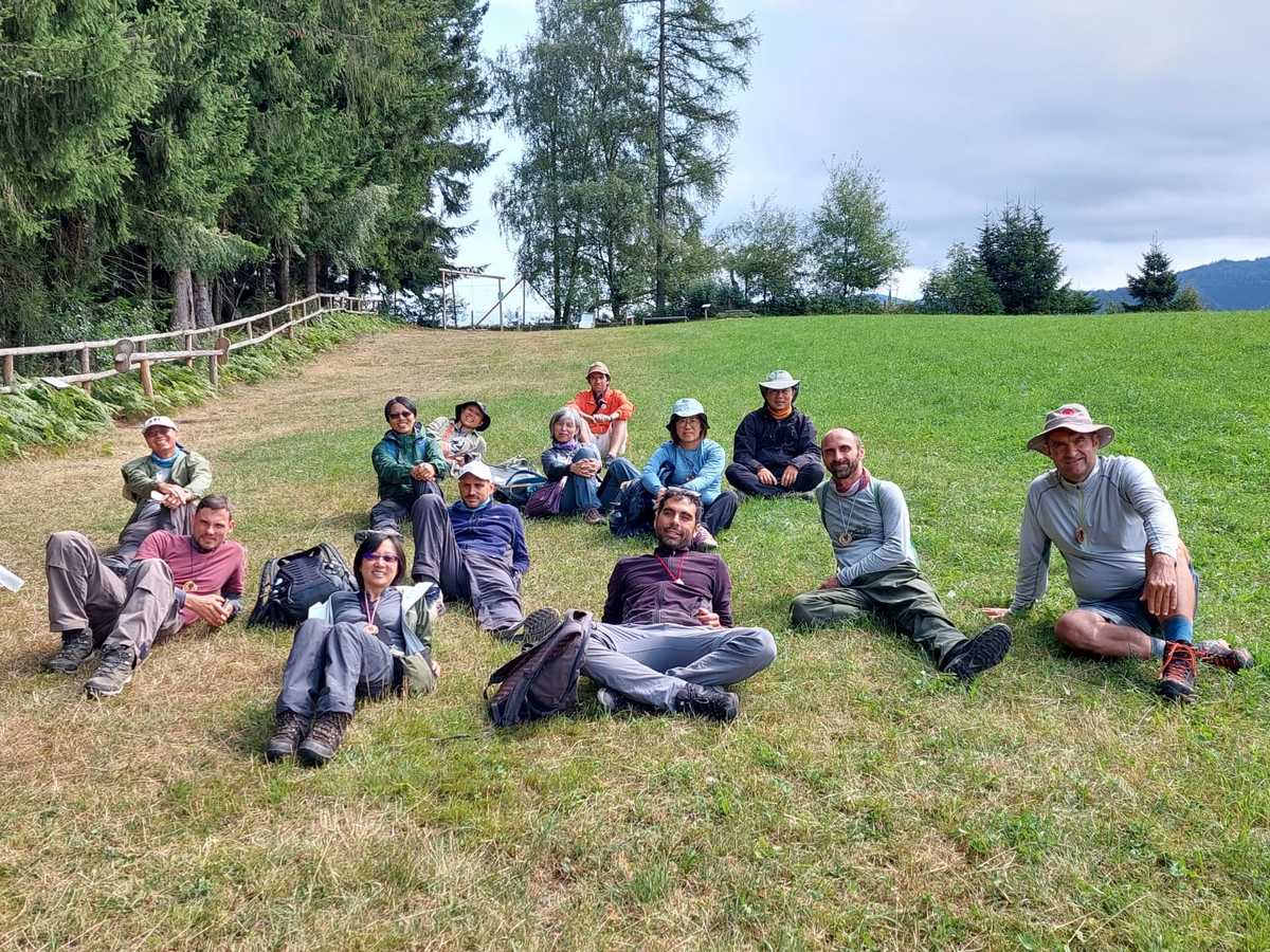
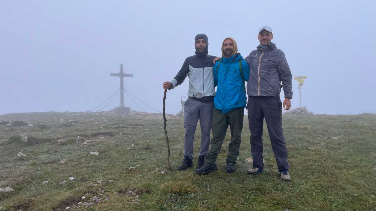
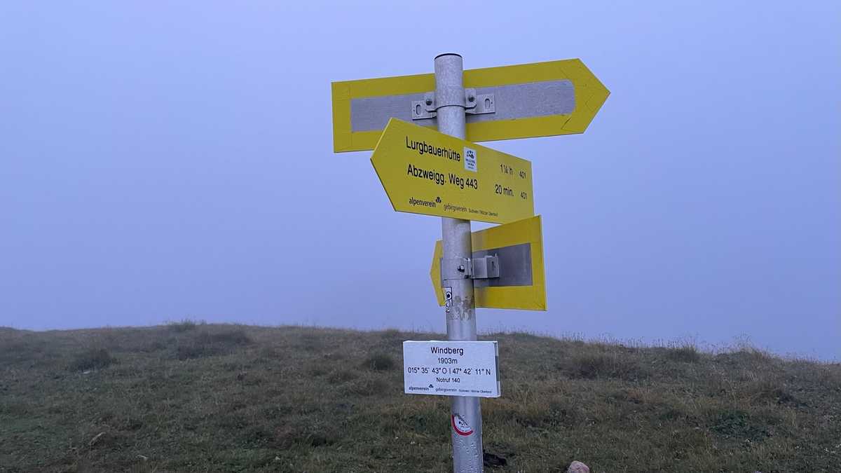
Rise at 5, hike to Windberg Peak at 5:30. In the fog. Purely masochistic. We saw nothing beyond the cross at the top, barely above 1900 meters. This was followed by breakfast at the shelter and a downhill walk to the vehicles. We had the opportunity to discuss with the Taiwan team various trail erosion issues and how they are dealing with them there. With the rain falling in their country, they will know something… as it turned out!
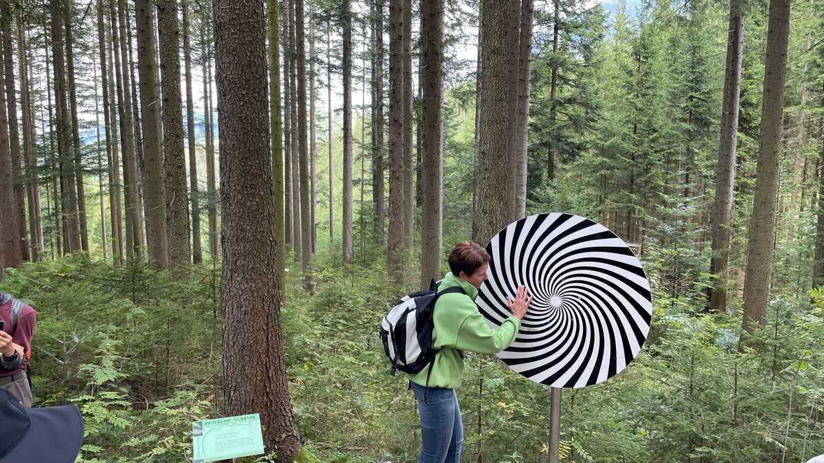
Then we visited a private forest, where a farming family has built a whole park with trails for disabled people and small children. At every turn of the trail, they had various toys with natural materials which excited us! The most impressive of all, of course, was a pair of grandparents, who brought their grandchildren for a hike in the forest!
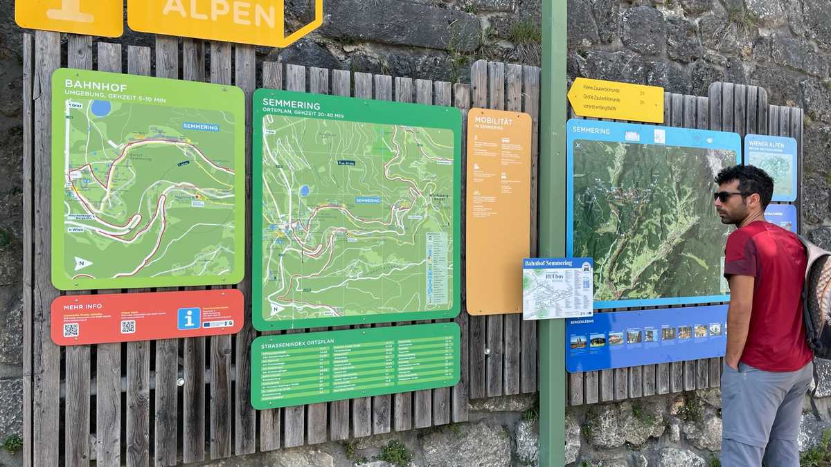
Short stop for food nearby and after a bit of driving, we arrived at the starting point of our next hike. The starting and ending point is Semmering train station. And the hike began by train to the next stop, Breitenstein. From there, we walked a path parallel to the train tracks, to return to Semmering.
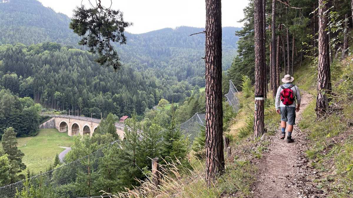
This path is part of a long route, along the oldest train line of the Alps which is also a UNESCO monument. Of course, the show was stolen by the arched bridges, built about 150 years ago… Here we should note that despite the signage, without the application of Outdooractive we would definitely get lost…
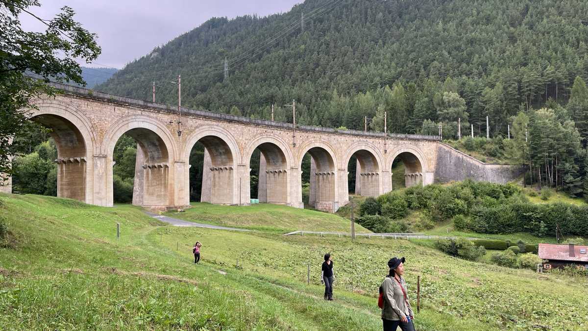
Our four-hour hike ended at a restaurant in Semmering just before heavy rain hit. At the dinner we also met the tourism representative of the Semmering area. From there, after about two hours’ journey, we arrived in Hungary, in the city of Fertod, old capital of the Esterhazy fiefdom, where we slept dry.
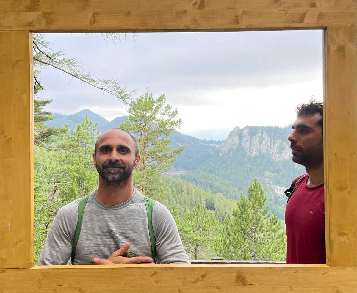
Day 5 – Hungary
Relaxed awakening today at 8:00! Breakfast at the hotel and then we had a work meeting, where we discussed what we saw in the previous days, what impressed us and what troubled us. The conclusions are described below. In the afternoon we had a nice bike ride in Fertő-Hanság International Park.
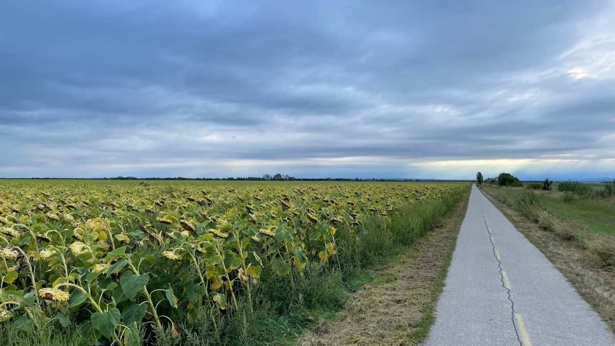
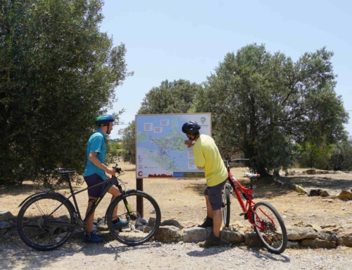
With the bikes we also passed through Austria, where the “Iron Curtain” used to be. Now, with one wheel Hungary and with the other Austria, without borders, controls, customs, etc.
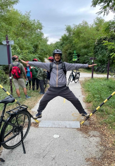
Day 6 – Hungary
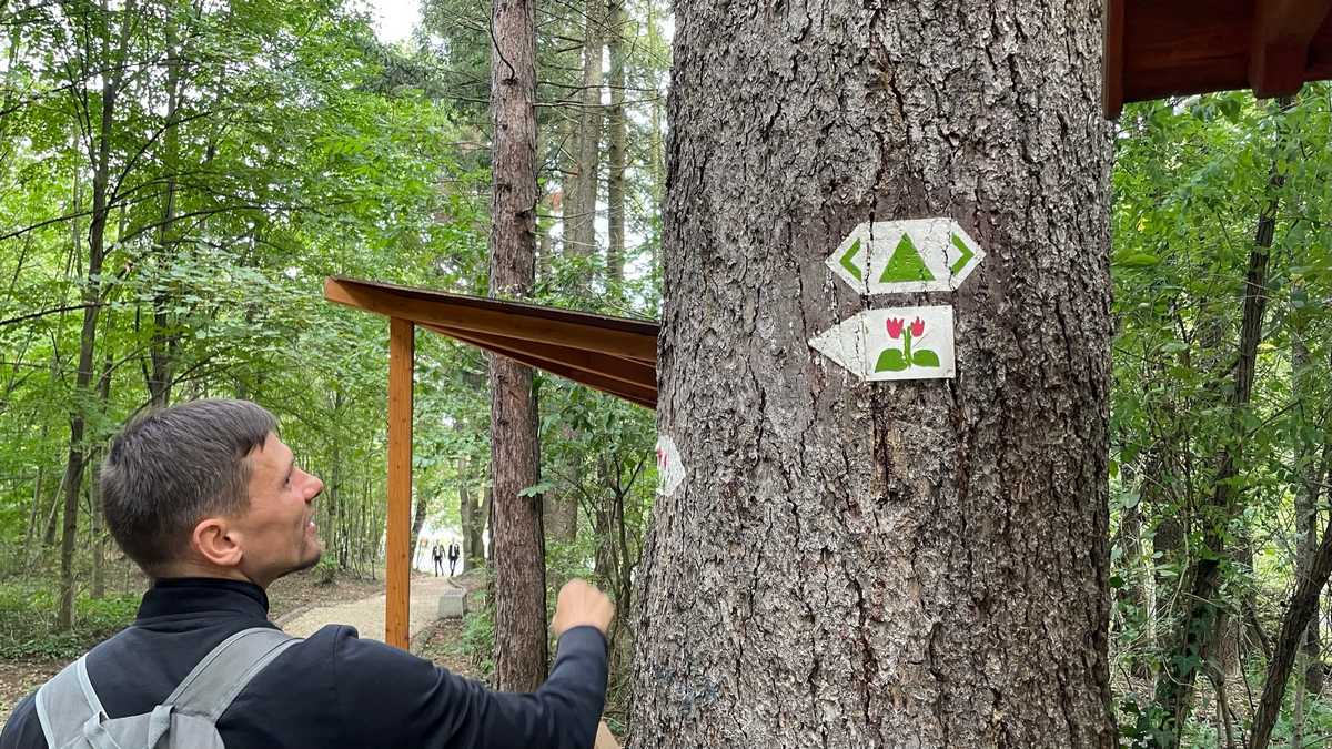
After breakfast, we went to the nearby town of Sopron, where we walked peri-urban routes, saw the markings they use on Hungarian trails and admired the city from above. We also walked along a path for disabled in the Sopron grove.
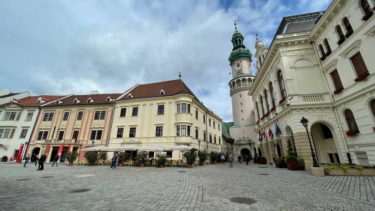
Then, we toured the streets of the city, also seeing the ruins of the Roman fortification that was there. In the afternoon, from our hotel in Fertod we participated online in the international meeting of the World Trails Network and the Trailology program. There we also presented the marking system that we have invented and that we use in most of our projects.
Day 7 – Slovakia and departure
After our breakfast, we packed up and drove to Bratislava, the capital of Slovakia, which is literally on the border with Austria.
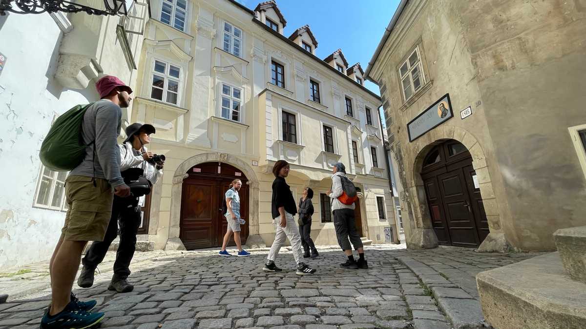
After a short but impressive tour of the city along the Danube, we arrived at the Vienna airport from where we departed for Athens.
Conclusions
This trip was particularly enlightening in the matters of waymarking and route formation in general. We saw systems they use in 4 countries, in different landscapes (mountain, plain, rivers, lakes, etc.). We saw markings for walking and cycling routes. We also saw routes for the disabled and for children. Finally, we even saw cross-border routes where you hardly realize that you are changing countries!
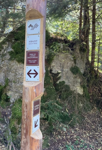
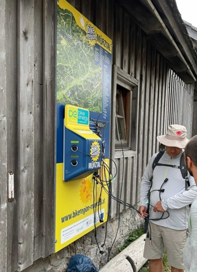
There were many people walking on the trails. Of all ages. In all the countries we passed through. Of course, most of the routes had car parks, and we often saw e-bike charging stations. Even in mountain shelters.
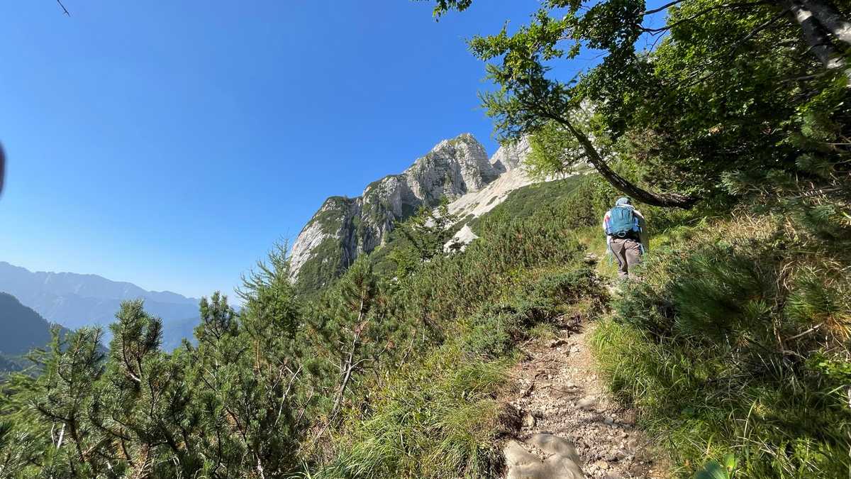
The use of natural materials was also very evident throughout the trails. However, we did not see a particular effort to manage erosion, which in some parts of the route was particularly important.
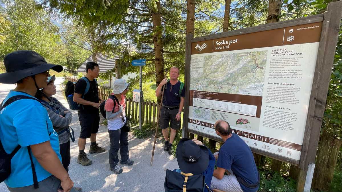
We also met and discussed with decision makers in these countries about route management, signage and visibility.
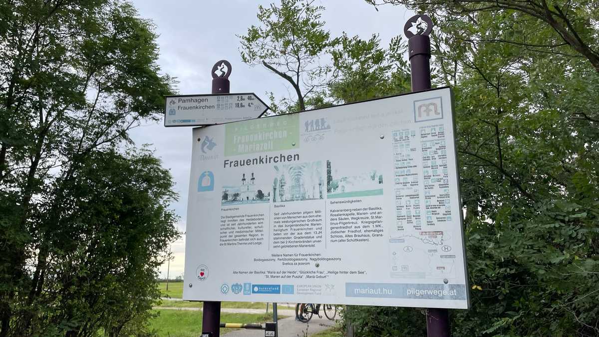
Overall, we were not entirely satisfied with the signage we saw on our trip. Initially, it had many “gaps”. That is, points where either there was no marking or the existing marking was not clear. In other places, we believe that the signage caused more visual nuisance than it should have. Also, almost all the signs were monolingual, meaning they had no English, even if they had descriptions. Finally, in a few cases we found clear entry signs along the route, with a map, technical characteristics, etc.
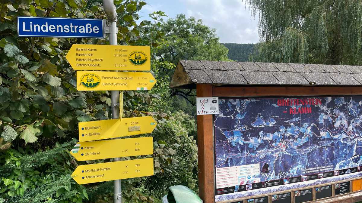
We also saw few circular routes but at the same time a great demand from the public for circular routes and in the discussions we had it was evident the recognition that most people are looking for short day hikes rather than long routes.
Judging by our own signage system, we consider it to a great extent to satisfy the requirements of a perfect signage, with lower cost, greater durability and less visual nuisance. To improve it, based on what we saw – and mainly the Hungarian marking system – we decided that when marking with color, where routes intersect, we will also mark the number (code) of the route, so that even if the stake with the directions, so the hiker can follow the right path.
The planning of the routes we do, with an emphasis on daily routes, we believe opens up the world of hiking (and cycling) to the widest possible range of population. Long multi-day crossings are also good, but can come as the culmination of a network of local routes. Here we should add to the advantages of local networks that they strengthen the economy better as they pass through more settlements and at the same time give access to many more points of interest, giving at the same time a reason for their maintenance and promotion.
On the occasion of our trip, we decided to soon organize a similar trip to Greece, studying the various systems that have been used, and of course analyzing the current legislation on trail markings.

